

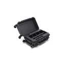
Droprise Surveyor Pack Pro Ultra
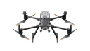
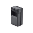
Introducing the Ultimate DJI Matrice 350 RTK Combo – a cutting-edge solution designed for precision, efficiency, and excellence in aerial surveying and mapping. This all-in-one pack combines superior technology and unmatched performance with the DJI Matrice 350 RTK, equipped with the L2 LiDAR Scanner for detailed data capture. Powered by the BS65 Intelligent Battery Station and TB65 Batteries, and enhanced with a 4G Dongle for seamless connectivity, this combo is built for professionals.
Included in the pack are advanced tools like the Emlid Reach RS3 GNSS RTK Receiver and Flow 1-Year Subscription for accurate positioning, as well as the industry-leading Terrasolid Software for advanced processing. With a 2-Year Service Contract, this combo ensures you have everything you need for unparalleled performance
specs
|
Merk |
DJI, Emlid, Terrasolid |

DJI Matrice 350 RTK Combo - 2 Year Care
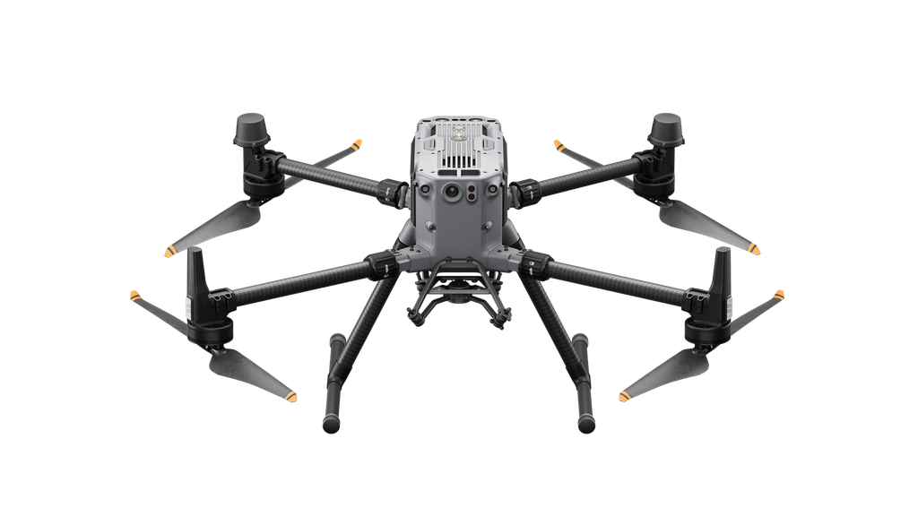
An upgraded flagship drone platform, the Matrice 350 RTK (M350 RTK) , sets a new standard for the industry. This next-generation drone platform features an entirely new video transmission system and control experience, a more efficient battery system, and more comprehensive safety features, as well as robust payload and expansion capabilities. It is fully equipped to inject innovative strength into any aerial operation.
Effortlessly Powerful Flight Performance
Built tough, the Matrice 350 RTK features powerful propulsion, enhanced protection rating, and excellent flight performance, allowing it to effortlessly tackle a wide variety of challenges.
- Max Flight Time: 55 mins
- Protection Rating : IP55
- Max Payload : 2.7 kg
- Max Flight : Altitude7000 m
- Max Wind Speed Resistance : 12 m/s
- Operating Temperature : -20° to 50° C (-4° to 122° F)
Stay Stable With New Transmission System
O3 Enterprise Transmission
Matrice 350 RTK adopts DJI O3 Enterprise Transmission, which supports triple-channel 1080p HD live feeds, and a max transmission distance of 20 km. Both the aircraft and the remote controller have a four-antenna transceiver system, which can intelligently select the two optimal antennas to transmit signals, while the four antennas receive signals simultaneously. In this way, anti-interference capabilities are significantly improved, and transmission stability is optimized.
New Control Experience
DJI RC Plus
Equipped with a 7-inch high-bright screen, DJI RC Plus supports Dual Operator Mode and comes with a standard WB37 external battery that offers an operating time of up to six hours, meeting various operation needs.
Built Ready for Harsh Environments
IP54 rated, DJI RC Plus is dustproof and waterproof to operate reliably in bad weather. The operating temperature is -20° to 50° C (-4° to 122° F), supporting around-the-clock operation even in severely hot or cold environments.
Smooth and Efficient Control
There are several buttons and dials on the front, back, and top of the remote controller for fast operation. Button functions can be customized to fit users’ habits and deliver an intuitive and flexible experience.
DJI Pilot 2
The DJI Pilot 2 app has been further optimized to clearly present the mission type and flight status. Easy and smooth control of the aircraft and payloads facilitates more efficient operation.
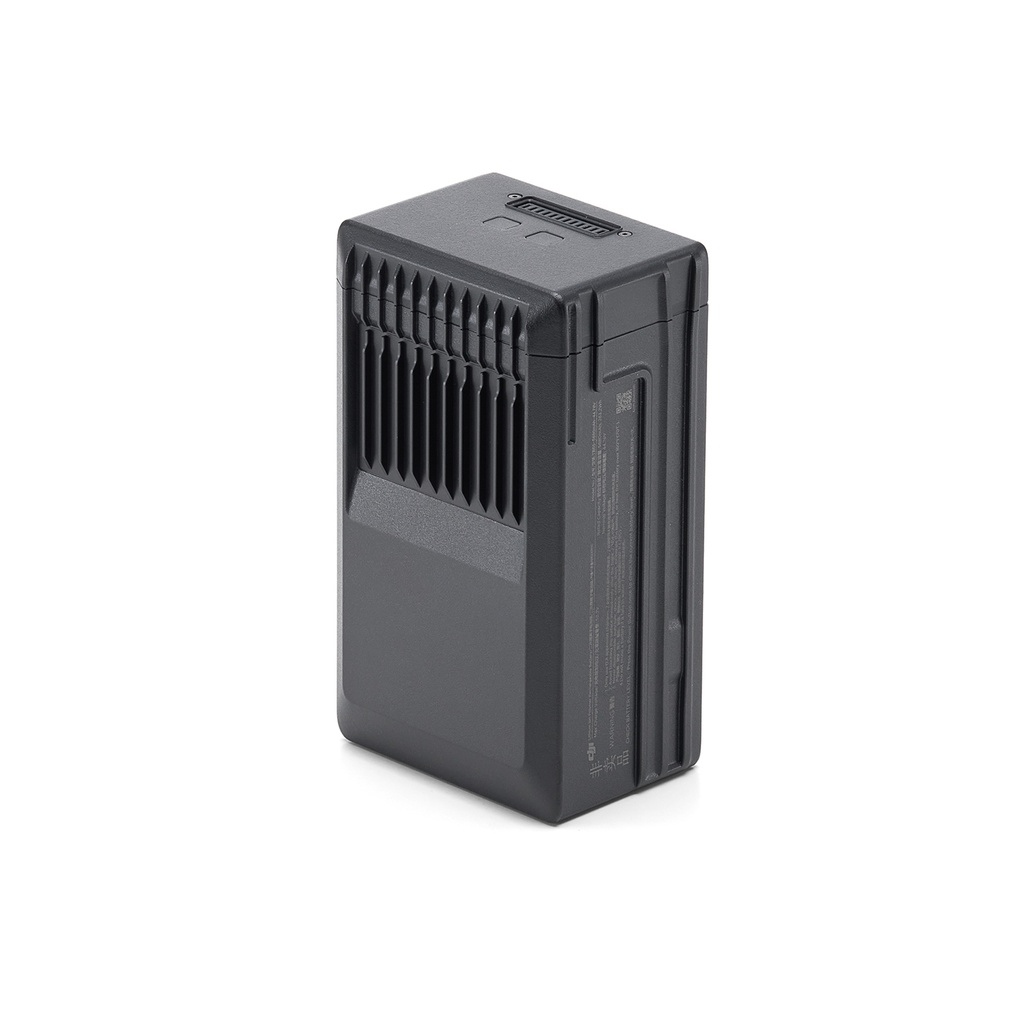
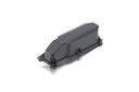
Upgraded Battery System
New Dual-Battery System
The Matrice 350 RTK is equipped with a new TB65 dual-battery system, which supports battery hot swapping and allows for multiple flights without powering off. The battery can be charged up to 400 cycles,
reducing the cost of a single flight.
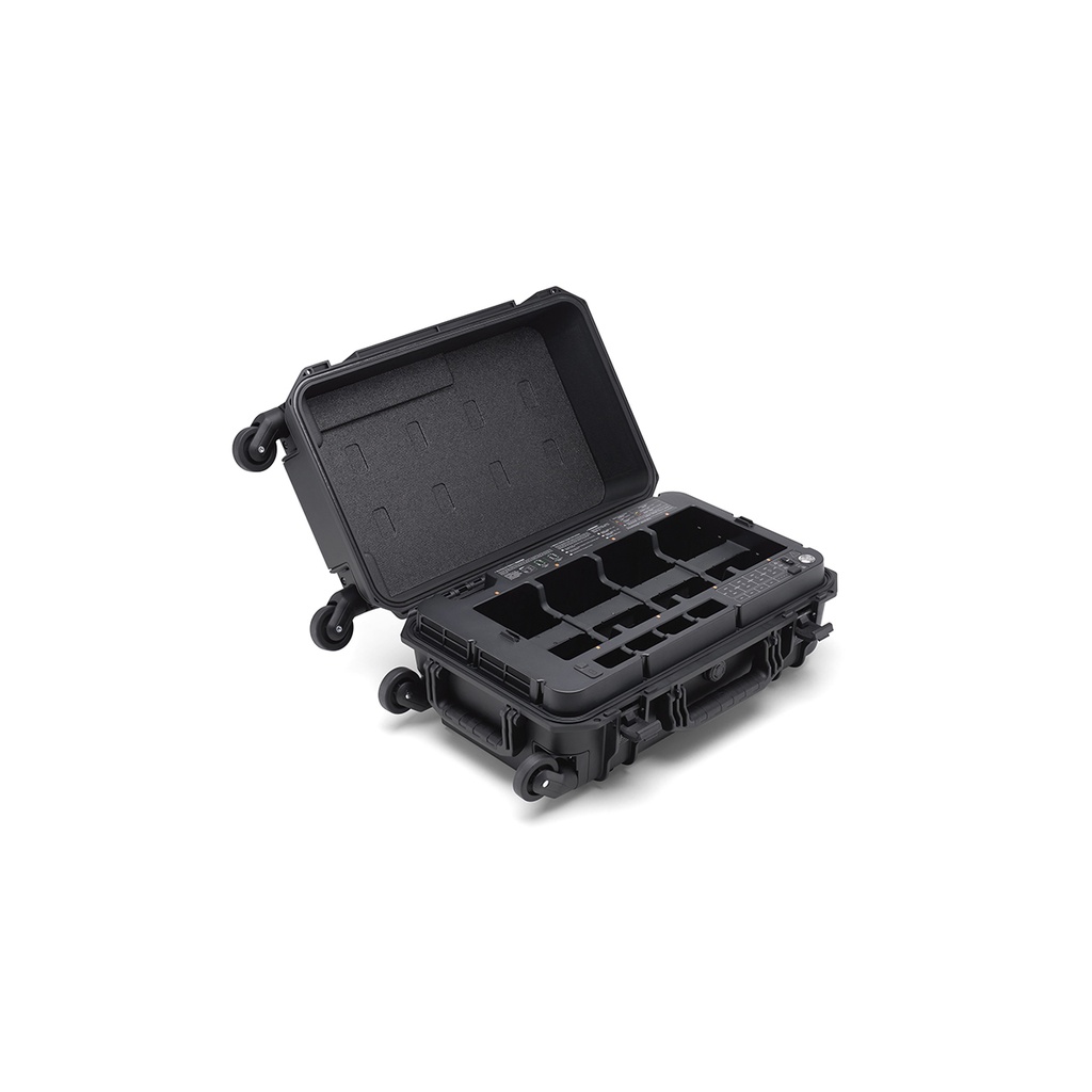
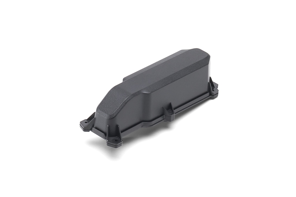
Next-Gen Intelligent Battery Station
The new BS65 Intelligent Battery Station provides a one-stop solution for battery charging, storage, and transport.
Multiple Charging Modes
In Storage Mode, charge the battery to 50%, which is good for long-term storage. In Ready-to-Fly Mode, quickly charge multiple battery sets to 90% to start operation at any time and extend the battery life.
Intelligent Management
When the battery station is connected to DJI RC Plus, the DJI Pilot 2 app will display the battery status and health information. In addition, you can set the number of self-discharge days, update the firmware, export logs, and access other quick operations with one tap.
Effortless Transitions
The battery station is designed with 360°-movement wheels for more convenient transportation and transitions.
Enhanced Flight Safety
Arm Lock Indicator
Night-Vision FPV Camera
6-Directional Sensing & Positioning
CSM Radar
Multi-Layered Redundancy Design
Powerful Payloads
The Matrice 350 RTK supports a single downward gimbal, dual downward gimbals, [11] and a single upward gimbal, [11] and can carry three payloads simultaneously. The aircraft also has an E-Port open interface and a max payload capacity of 2.7 kg, meeting the needs of different operation scenarios like public safety, inspection, and mapping.
Intelligent Operation
High-Precision Mapping
Matrice 350 RTK supports Waypoint, Mapping, Oblique, and Linear Flight missions. You can use Terrain Follow or Smart Oblique for efficient data collection. Together with DJI Terra, you can quickly obtain HD 2D and 3D digital results, enabling high-precision and high-efficiency mapping operation.
Air-to-Ground Coordination
With functions like the high-precision PinPoint and cloud-based real-time mapping, [14] the Matrice 350 RTK can link the air, ground, and cloud together. After the aircraft completes image collection, DJI FlightHub 2 can quickly model the operation site and transmit command information to the aircraft and ground operators. Both the remote controller and FlightHub 2 support point, line, surface drawing, and real-time uploading, and can cooperate with the aircraft to livestream the real-time operation view, breaking through communication barriers for air-to-ground collaborative operation.
Automated Precision Inspection
Through Live Mission Recording, the Matrice 350 RTK can generate and store flight route files that can be used at any time to realize automated operation and make repetitive inspection no longer time-consuming or effort-consuming. When using AI Spot-Check, the Matrice 350 RTK supports automatic framing and manual adjustment of subjects to improve the accuracy of repeated shooting and the quality of inspection operation.
User Data Security
- Media Data Encryption
- Local Data Mode
- One-Tap Clear All Device Data
- AES-256 Video Transmission Encryption
- Cloud API
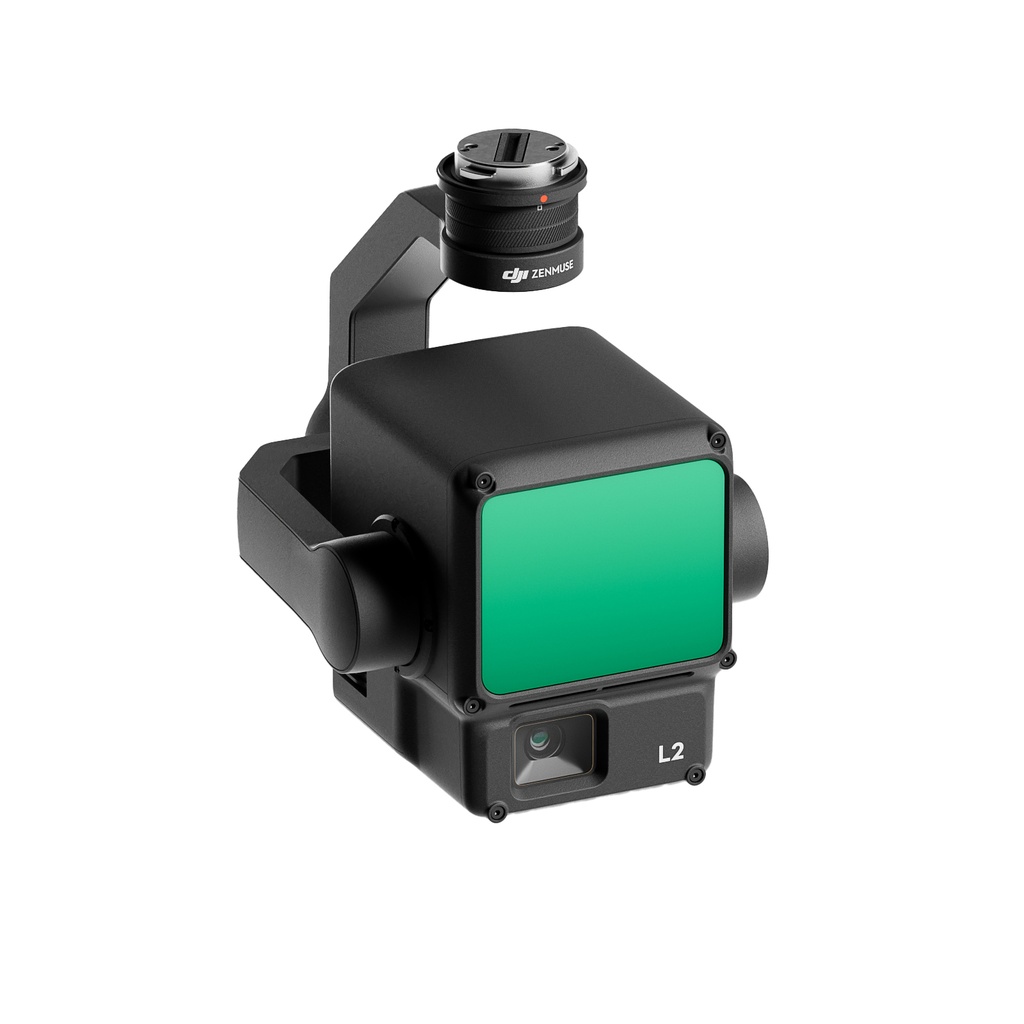
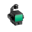
Zenmuse L2
Zenmuse L2 integrates frame LiDAR, a self-developed high-accuracy IMU system, and a 4/3 CMOS RGB mapping camera, providing DJI flight platforms with more precise, efficient, and reliable geospatial data acquisition. When used with DJI Terra, it delivers a turnkey solution for 3D data collection and high-accuracy post-processing.
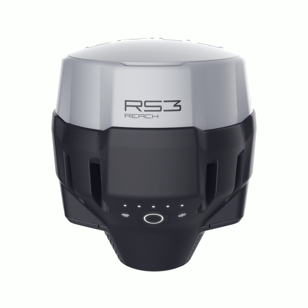
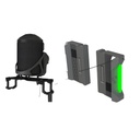
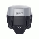
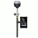
Emlid Reach RS3
Multi-band RTK GNSS receiver with tilt compensation
Survey grade precision even in hard-to-reach spots. Comes with a mobile app.
IMU
6DOF, RTK + 2 mm + 0.3 mm/°
GNSS
GPS/QZSS L1C/A, L2C,
GLONASS L1OF, L2OF,
BeiDou B1I, B2I,
Galileo E1-B/C, E5b
18 hrs with tilt compensation
Li-Ion battery, USB Type-C charging
LTE and Wi-Fi
To connect the device to the internet
Dual-band radio
868/915 MHz LoRa to receive and transmit corrections
450 MHz UHF to receive corrections
NTRIP and RTCM3
Supported protocols to send and receive corrections
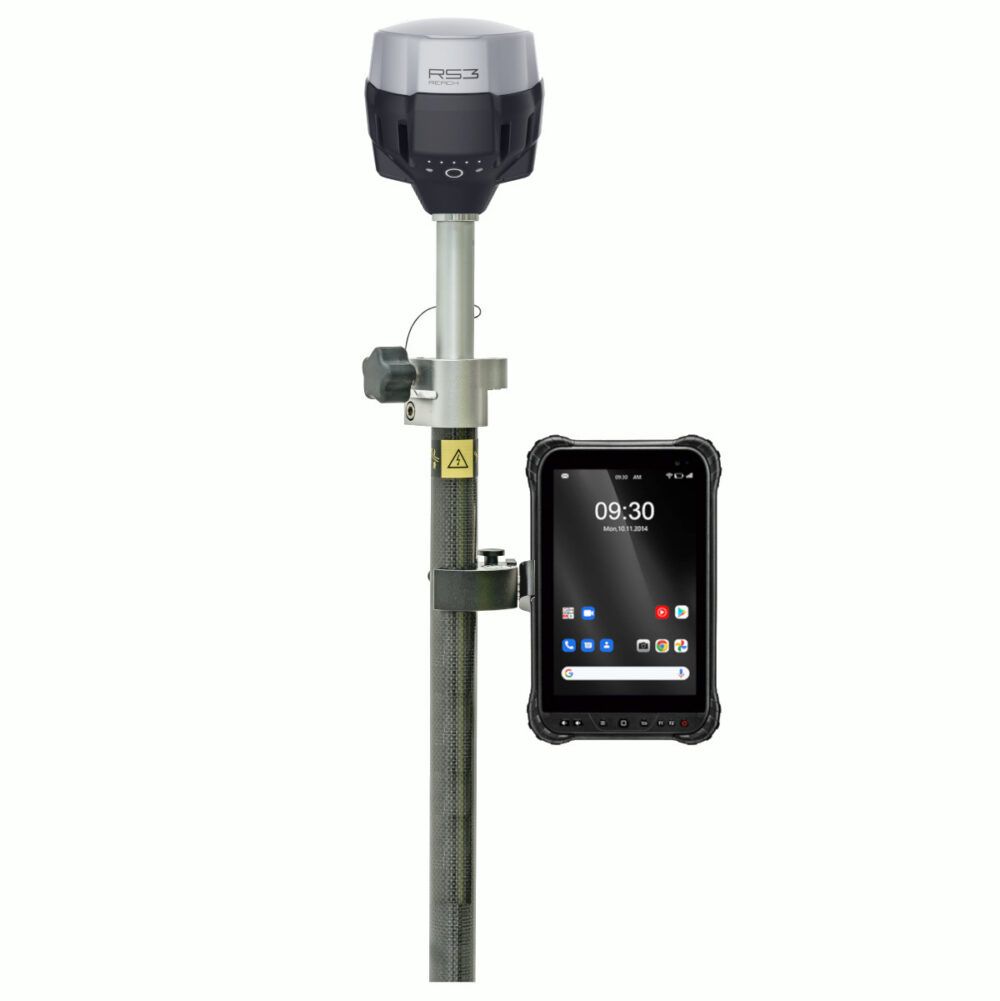
Package includes
– Reach RS3
– Carrying case with a strap
– Radio antenna
– USB Type-C cable
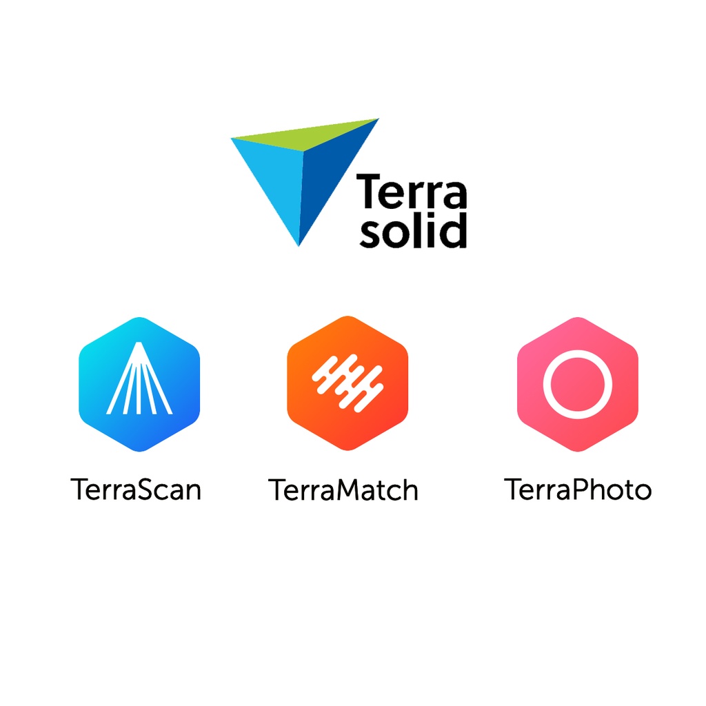
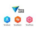
Terrasolid
TerraScan
TerraScan is the main application in the Terrasolid Software family for managing and processing all types of point clouds. It offers import and project structuring tools for handling the massive number of points of a laser scanning campaign as well as the corresponding trajectory information. Various classification routines enable the automatic filtering of the point cloud.
TerraMatch
TerraMatch is a sophisticated tool for improving the accuracy and quality of the raw laser point cloud. It compares laser data from overlapping flight or drive paths and calculates correction values for the misalignment angles as well as xyz location errors. The comparison and correction value calculation can be either based on surface matching or on different types of tie lines. Tie line matching comprises points or lines on horizontal, vertical or sloped surfaces that can be used for matching flight/drive paths to each other, but also known point or line locations that enable the adjustment of the laser point cloud to control measurements.
TerraPhoto
TerraPhoto is specifically developed for processing images captured together with laser data during a survey mission. The software enables the production of rectified images and ortho mosaics based on ground model that has been extracted from the laser data. The positioning of the source images can be refined by using tie points for image-to-image adjustment while ground control point can be involved for improving the absolute accuracy of the image block. With additional functionality, such as color adjustment options, the creation of selection shapes for several object types or areas (e.g. buildings, water), the inclusion of vector models for true-ortho photo production, TerraPhoto lets you create ortho photos of good positional and color-coordinated quality.
Anderen bekeken ook
Bekijk alle drones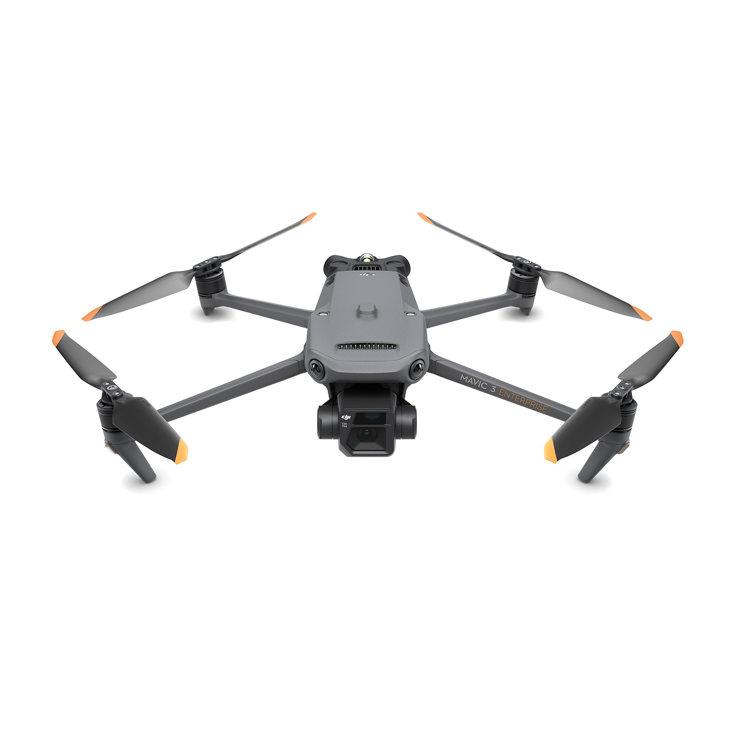
Ook interessant
Bekijk alle dronesuw experten
Als uw turnkey drone solutions experten staan we steeds voor u klaar om onze kennis en ervaring te delen en u optimaal te ondersteunen.
contacteer ons