

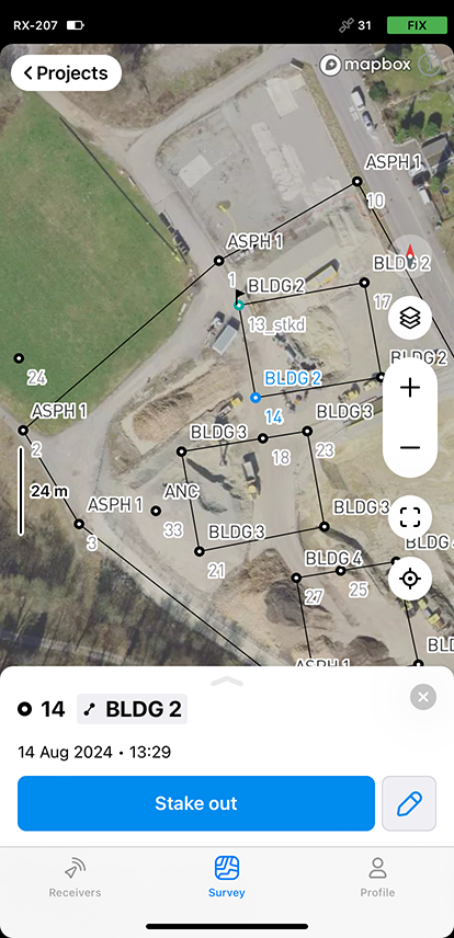

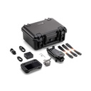


Droprise Surveyor Pack Advanced Plus (C2)
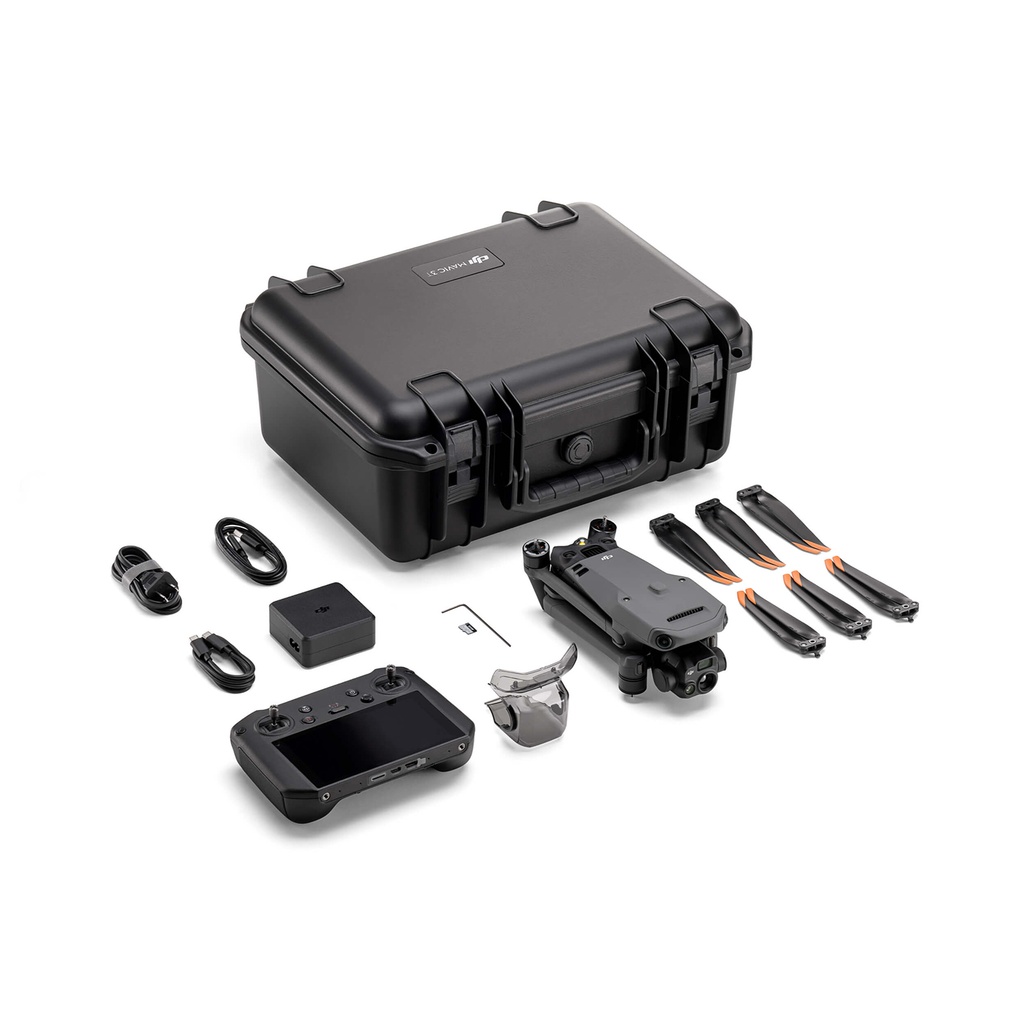
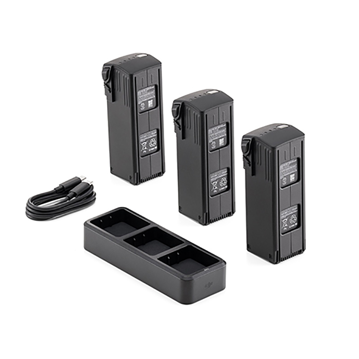
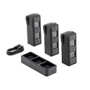
- DJI Matrice 4E + 4 Intelligent Flight Batteries
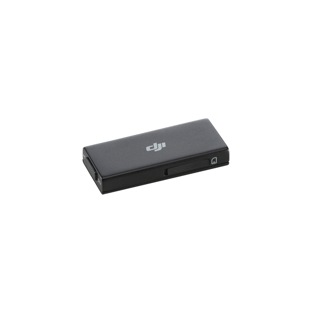
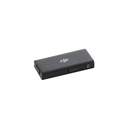
- DJI Cellular Dongle 2 4G
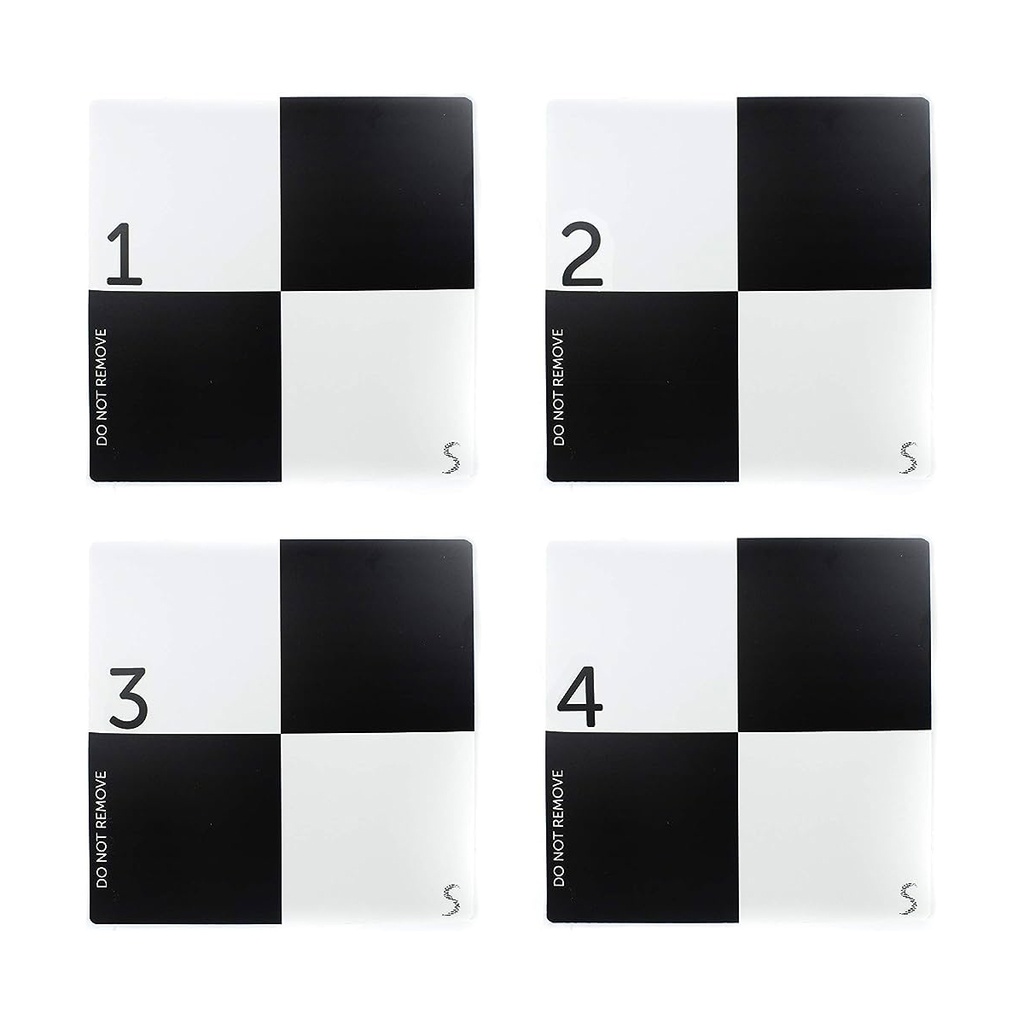
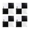
- Droprise GCP set (5 Pcs.)
- DJI Terra Pro License (1 Year Free)
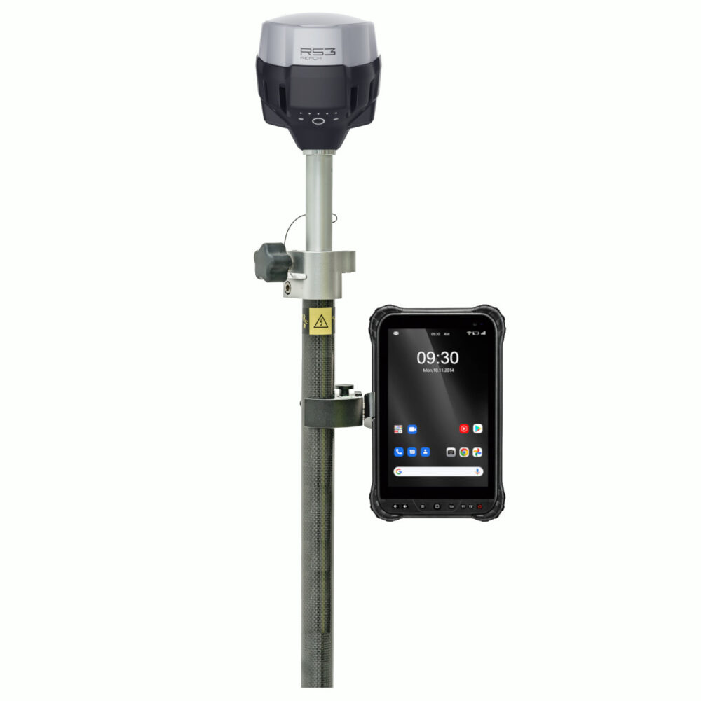
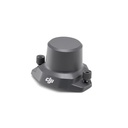
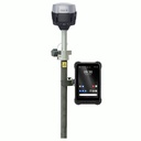
- Emlid Reach RS3 GNSS Receiver
- Emlid Survey Pole with phone mount
- Emlid Flow Software (1 Year)
- Seco Tripod with Tribrach kit
specs
|
Merk |
DJI |
|
Product |
Drones |

The Age of Intelligent Flight with Matrice 4 Series
Intelligente Herkenning met AI, Intelligente Bediening
Ingebouwde AI herkent voertuigen, vaartuigen en objecten tijdens zoek- en reddingsacties of routinematige vluchten. Biedt functies zoals Cruise, FlyTo, Smart Track en POI.
Uitstekend voor omgevingen met weinig licht
De camera's van de Matrice 4-serie hebben grotere diafragma's, een nieuwe Nachtmodus en Low-Light fisheye omnidirectionele sensor technologie. De Matrice 4T heeft daarnaast nieuwe hardware voor NIR-verlichting en ondersteunt infraood hoge resolutie voor search and rescue (SAR).
Kristalheldere Beeldkwaliteit: Ontdek de Details
The medium tele camera identifies screws from 10 meters [2] and reads instrument data at substations, while the tele camera captures details from signs up to 250 meters away with improved clarity.
Precisie kartering
Ondersteunt 5-Directionele opname, 3-Directionele Ortho Opname en Smart 3D Opname. De Matrice 4E ondersteunt ook opnames met een interval van 0,5 seconde en kan in combinatie met DJI Pilot 2 automatisch mapping rapporten genereren.
Verbeterde veiligheid in de lucht
Bevat een GNSS en Vision Integrated Positioning and Navigation System.
Het O4 Enterprise videotransmissiebereik is meer dan 20km en kan worden uitgerust met de DJI Cellular Dongle 2.
Full DJI software suite
DJI Pilot 2
An updated Enterprise flight interface designed to improve pilot efficiency and flight safety. Drone and payload controls are easily accessible with a single tap. Clear presentation of flight details and navigation information enhances the user experience, along with support for different route types.
DJI Flighthub 2
All-in-one cloud drone operations management for your fleet with support for live annotations and cloud mapping for seamless ground-to-cloud synergy. Efficiently manage inspection activities with route planning and mission management.
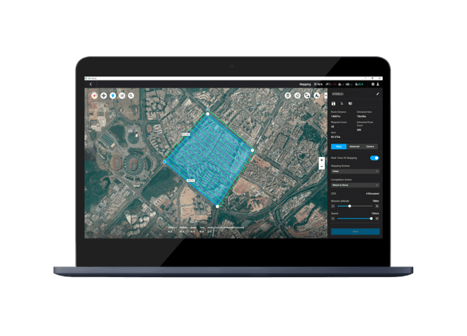
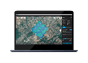
DJI Terra
Comprehensive mapping software for all phases of work, from mission planning to processing 2D and 3D models , surface and volume calculations.
DJI Thermal Analysis Tool 3.0
Analyze, annotate and process images captured by M3T with DTAT 3.0 to detect temperature anomalies in your inspections.
uw experten
Als uw turnkey drone solutions experten staan we steeds voor u klaar om onze kennis en ervaring te delen en u optimaal te ondersteunen.
contacteer ons