
Pro
 € 17299.00excl. BTW 21%
- DJI Matrice 350 RTK Combo
- Zenmuze P1 Camera
- Zenmuze L2 LiDAR Scanner
- DJI Matrice 350 RTK BS65 intelligent
- Battery Station
- DJI Matrice TB65 Batteries (4 Pcs.)
- 4G Dongle
- GCP set (5 Pcs.)
- 2 year Service Contract
- Pix4D Cloud Advanced 1 year subscription
- Terrasolid Terra SCAN-MATCH-PHOTO 1 year subscription
- Emlid Flow 1 Year subscription
- Emlid Reach RS3 GNSS RTK Receiver
- Emlid Survey Pole
- Emlid Tripod
Pro Plus
 € 23430.00
excl. BTW 21%
- DJI Matrice 350 RTK Combo
- Zenmuze P1 Camera
- Zenmuze L2 LiDAR Scanner
- DJI Matrice 350 RTK BS65 intelligent
- Battery Station
- DJI Matrice TB65 Batteries (4 Pcs.)
- 4G Dongle
- GCP set (5 Pcs.)
- 2 year Service Contract
- Pix4D Cloud Advanced 1 year subscription
- Terrasolid Terra SCAN-MATCH-PHOTO 1 year subscription
- Emlid Flow 1 Year subscription
- Emlid Reach RS3 GNSS RTK Receiver
- Emlid Survey Pole
- Emlid Tripod
Pro Ultra
 € 27900.00
excl. BTW 21%- DJI Matrice 350 RTK Combo
- Zenmuze P1 Camera
- Zenmuze L2 LiDAR Scanner
- DJI Matrice 350 RTK BS65 intelligent
- Battery Station
- DJI Matrice TB65 Batteries (4 Pcs.)
- 4G Dongle
- GCP set (5 Pcs.)
- 2 year Service Contract
- Pix4D Cloud Advanced 1 year subscription
- Terrasolid Terra SCAN-MATCH-PHOTO 1 year. subscription
- Emlid Flow 1 Year subscription
- Emlid Reach RS3 GNSS RTK Receiver
- Emlid Survey Pole
- Emlid Tripod
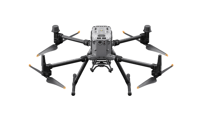
Drone
The Matrice 350 RTK, sets a new industry standard.
This next-generation drone platform features an entirely new video system and control experience, a more efficient battery system, enhanced safety features, and robust payload and expansion capabilities.
It is fully equipped to inject innovative power into any aerial operation.
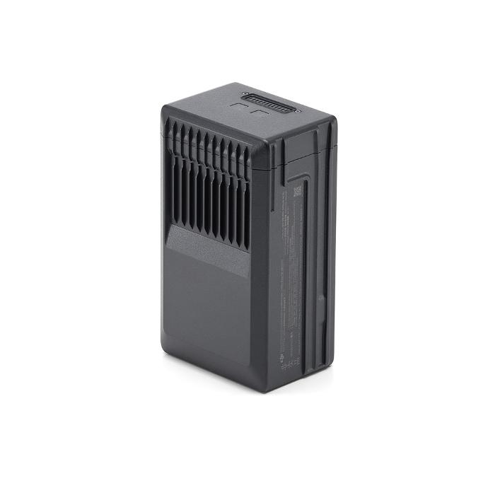
Batteries 4x TB65
The TB65 Intelligent Flight Battery uses high-quality, energy-efficient cells and can be charged up to 400 cycles.
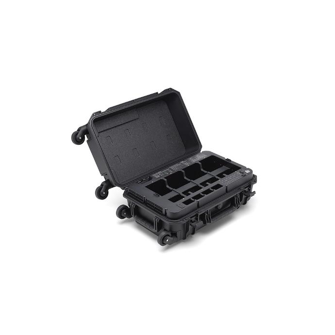
Battery Station
The DJI Matrice 350 RTK BS65 Intelligent Battery Station is an all-in-one solution for charging, storing, and transporting batteries.
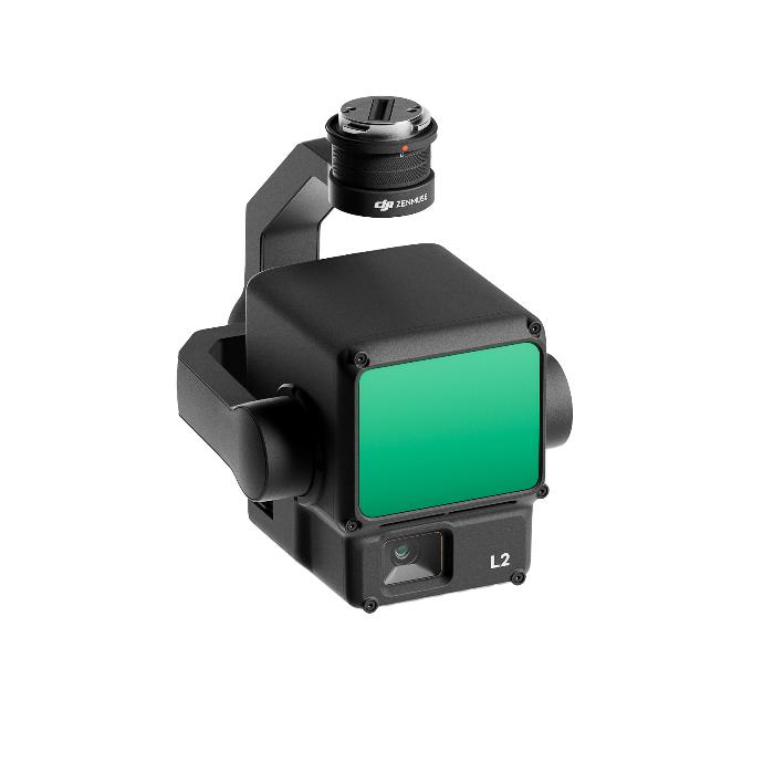
Zenmuse L2
integrates frame LiDAR, a self-developed high-accuracy IMU system, and a 4/3 CMOS RGB mapping camera, providing DJI flight platforms with more precise, efficient, and reliable geospatial data acquisition. When used with DJI Terra, it delivers a turnkey solution for 3D data collection and high-accuracy post-processing.
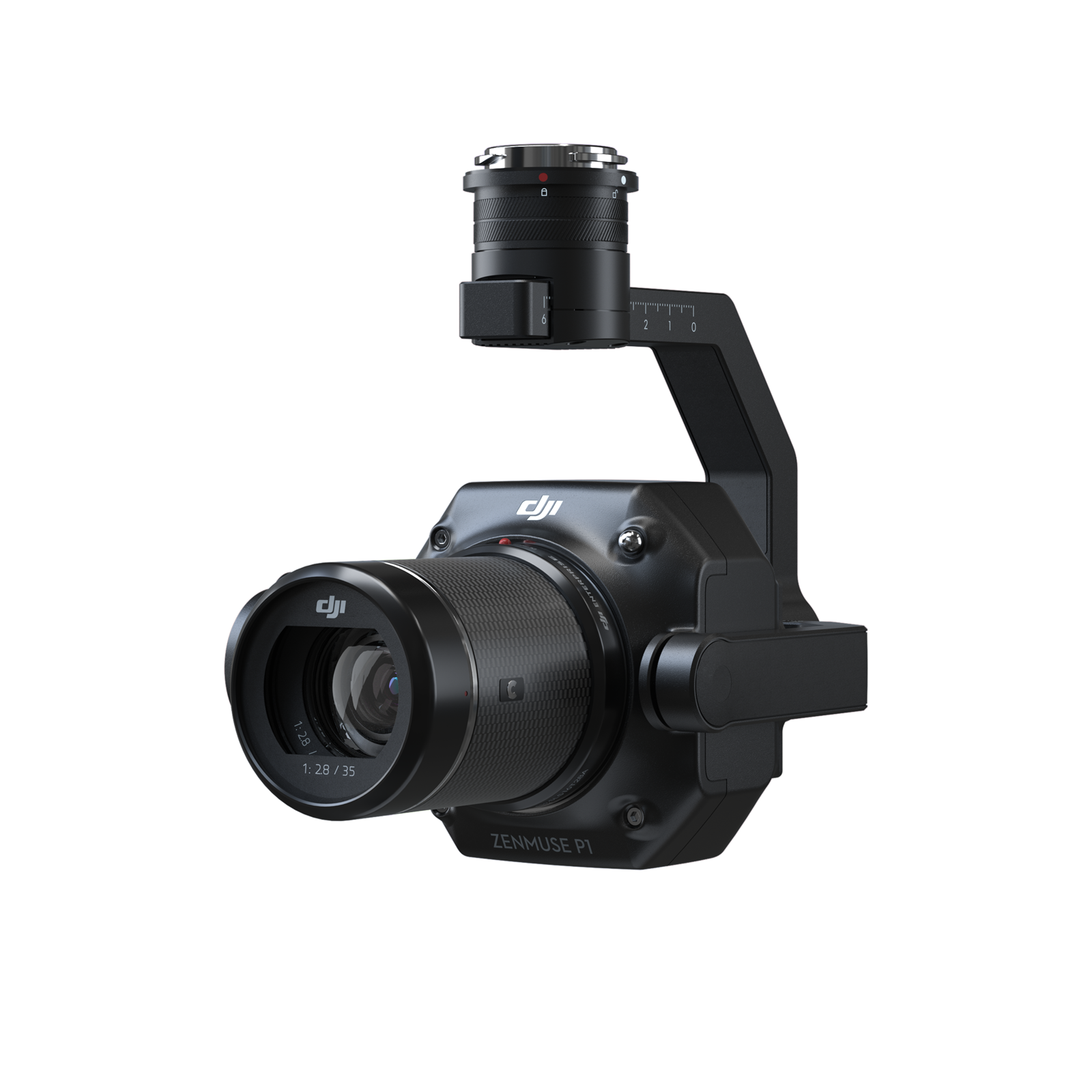
Zenmuze P1
Efficiency through flexible full-frame photogrammetry
The new benchmark for aerial photography, the Zenmuse P1 integrates a full-frame sensor with interchangeable fixed-focus lenses on a 3-axis stabilized gimbal. Designed for photogrammetry flight missions, the device brings efficiency and accuracy to a completely new level.
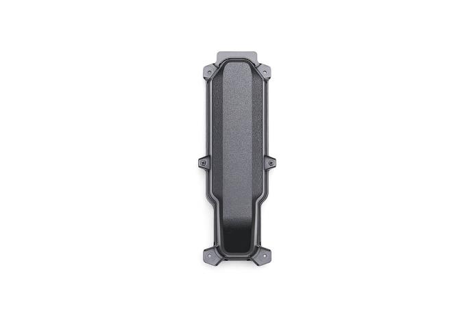
4G Dongle
This allows the drone to connect to the 4G network. When used with remote control on the Internet, 4G enhanced image transmission can be realized, which can easily cope with the situation of signal interruption and make the flight safer.
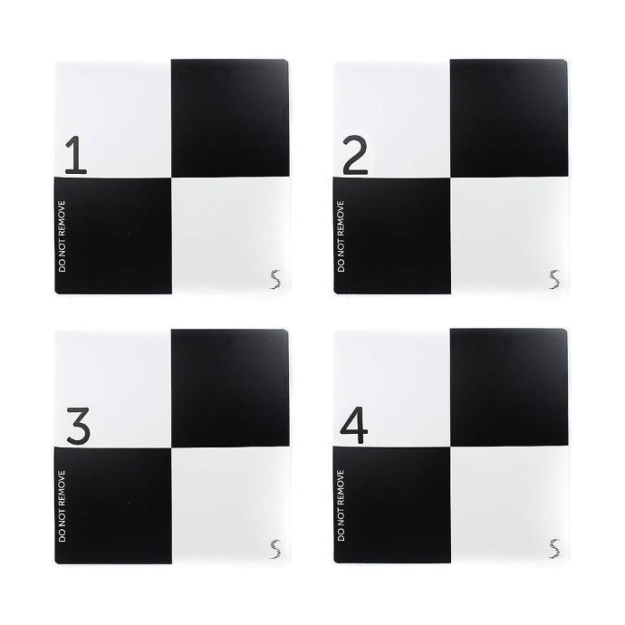
Ground Control Points
In an aerial mapping survey, GCPs are points which the surveyor can precisely pinpoint: with a handful of known coordinates, it’s possible to accurately map large areas.
The shape leaves very little ambiguity about where the ‘point’ of a ground control point is. Black and white delivers easy recognizability and high contrast patterns.
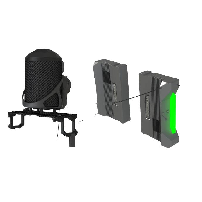
C5 Safety Package
Autonomous deployment.
MOC2512 (M2) Parachute Recovery system
MOC2511 Flight Termination system
Compliance documents
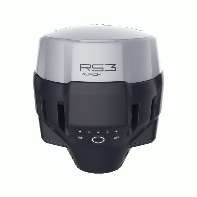
Emlid Reach RS3
RTK GNSS receiver with tilt compensation.
Survey grade precision even in hard-to-reach spots.
- Multi-band base and rover
- IMU tilt compensation
- LTE modem
- Dual-band radio
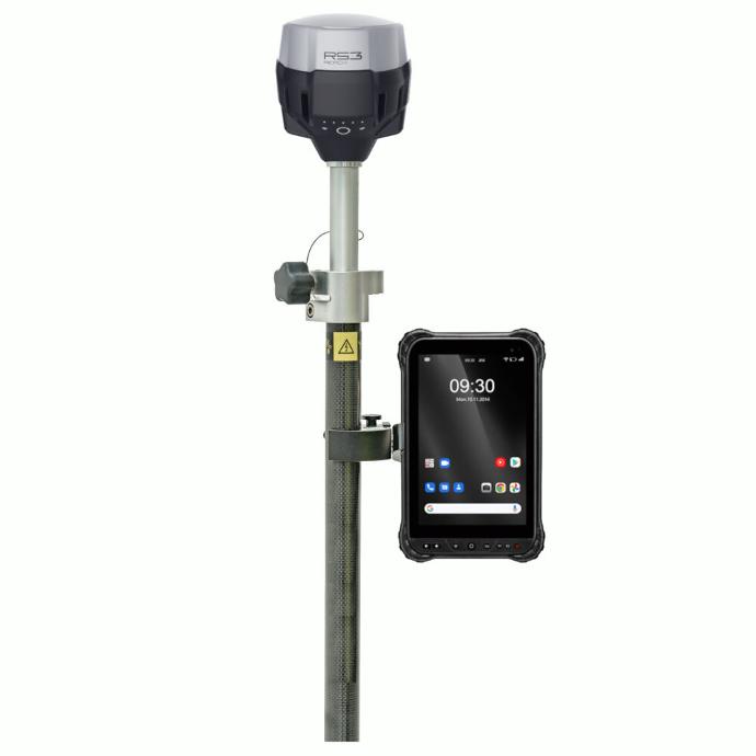
Emlid Reach Surveypole
The three-section construction delivers reliable stability with the help of solid flip locks. It comes equipped with a smartphone mount that fits most control devices and a carrying bag.
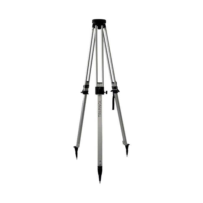
Emlid Reach Tripod
Emlid-branded lightweight aluminum tripod with standard 5/8" thread.
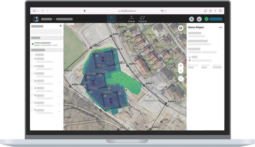
Emlid Flow
Any browser
- Prepare and manage projects
- Instantly share data between field and office
- Always have a backup of your work
Terrasolid Suite
TerraScan is the main application in the Terrasolid Software family for managing and processing all types of point clouds. It offers import and project structuring tools for handling the massive number of points of a laser scanning campaign as well as the corresponding trajectory information.
Pix4D Matic
PIX4Dmatic processes thousands of drone images while maintaining survey-grade accuracy, halving the processing time, without the trouble of splitting and merging.

Service Contract
a service plan launched by DJI specifically for the DJI M350 RTK. The service includes basic inspection, updates and calibration, deep cleaning, replacement of easily worn parts, replacement of core components, and maintenance reports.
uw experten
Als uw turnkey drone solutions experten staan we steeds voor u klaar om onze kennis en ervaring te delen en u optimaal te ondersteunen.

