Drones for Mapping & surveying
mapping and surveying
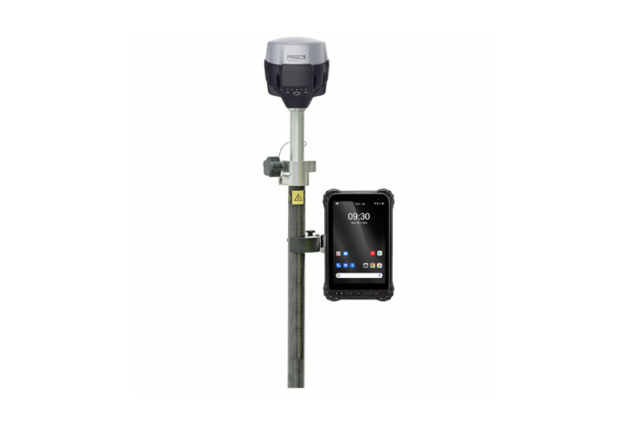
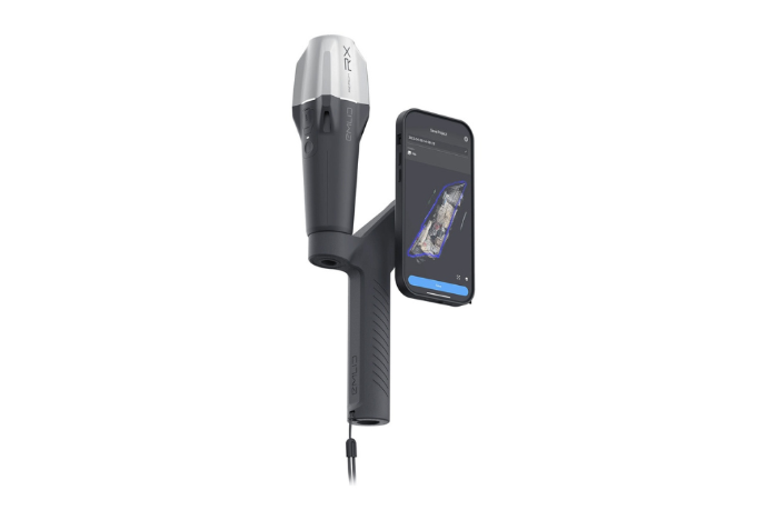
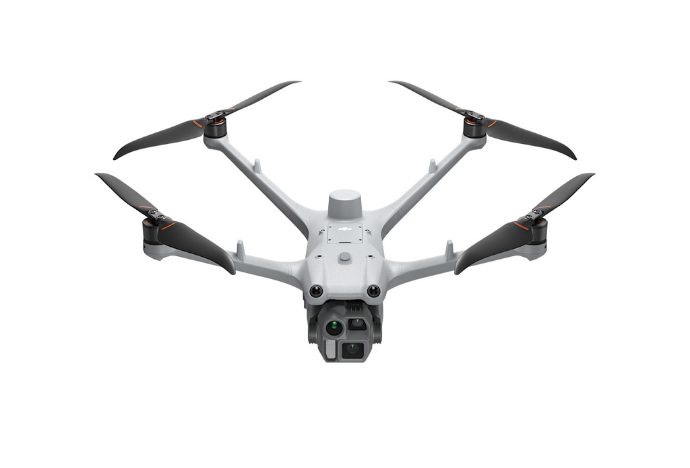
Drones are not only a good way to supplement your existing ground-based instruments, but also a fully-fledged additional tool for all of your mapping and surveying activities. These are two areas in which drones excel, and they contribute significantly to improving workflow efficiency in every sector.
Mapping gives you an overview of your business processes, your sites and your surroundings using flight planning and 3D modelling software. With more insight into opportunities and threats, you can operate pro-actively. And this is highly advantageous in every sector, whether applied to crop monitoring in an agricultural setting or 3D modelling for architects. Mapping is an advantageous tool for every sector.
In drone surveying, multi-spectral camera and specially adapted payloads capture detailed aerial data. Surveying drones tag images with coordinates, giving you a clear picture of an entire area.
Surveying drones have had a profound impact on the geo-spatial industry. They offer rapid data collection, outstanding position accuracy and the added security of an experienced operator. Your business will benefit from the extremely detailed data that a drone can collect.


