Droprise Ground Control Point 50x50cm
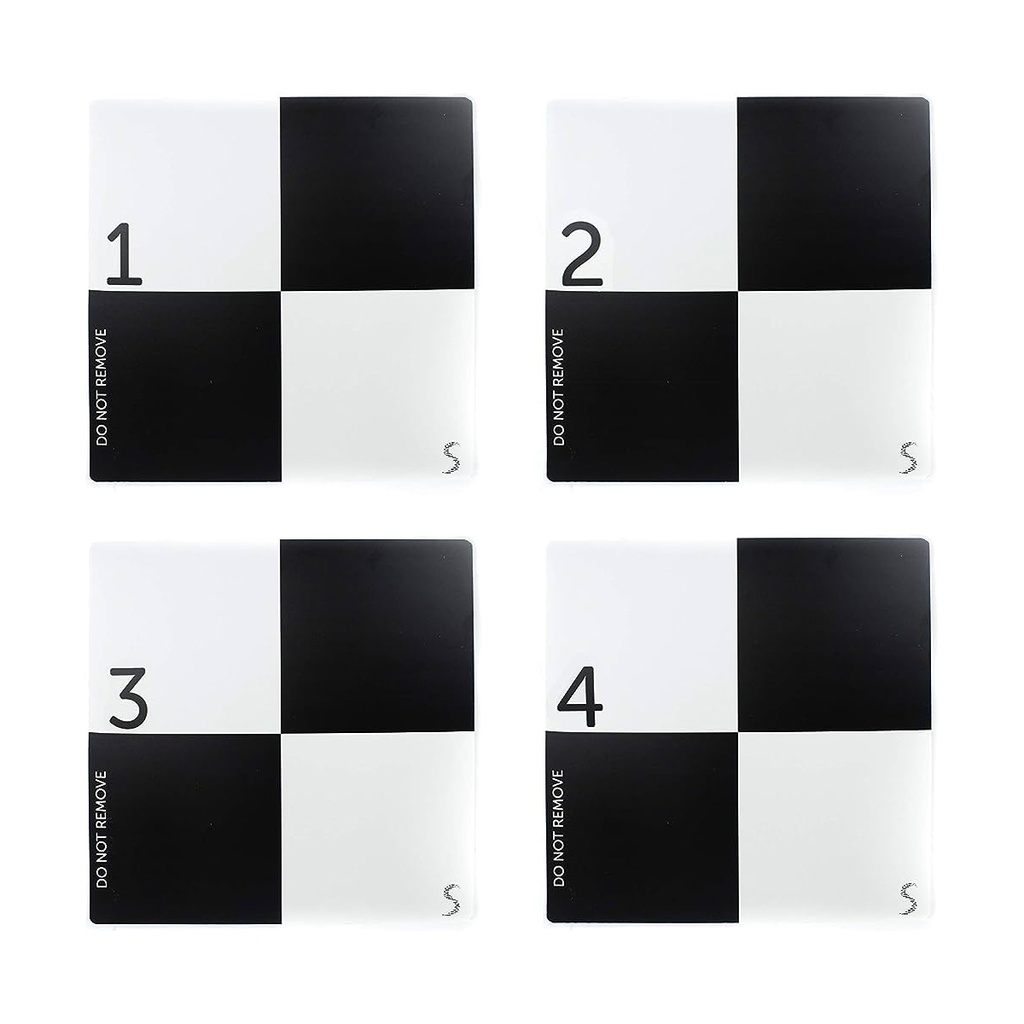
In an aerial mapping survey, GCPs are points which the surveyor can precisely pinpoint: with a handful of known coordinates, it’s possible to accurately map large areas.
Ground control points can be anything that can be easily recognized in the images. Typically they look like a small section of a checkerboard. The shape leaves very little ambiguity about where the ‘point’ of a ground control point is.
They’re almost always black and white because it’s easier to recognize high contrast patterns.
specs
|
Marque |
Droprise |
|
Product |
Accessories |

nos experts
En tant qu'experts en solutions drones clés en main, nous sommes toujours prêts à partager nos connaissances et notre expérience pour vous soutenir de manière optimale.
contactez-nous